|
| I am unsure why this map has the North-South orientation going
from left to right instead of up and down. It may that was how
it was in the document that I copied. (Or else, I was exhausted & made
a rather strange copy.) It is part of a deed from December 13,
1775 and relates to two deeds from the 1770s involving the OLIVERs
and various land transactions. It makes more sense seen with the Griffiths Valuation Map beneath. |
|
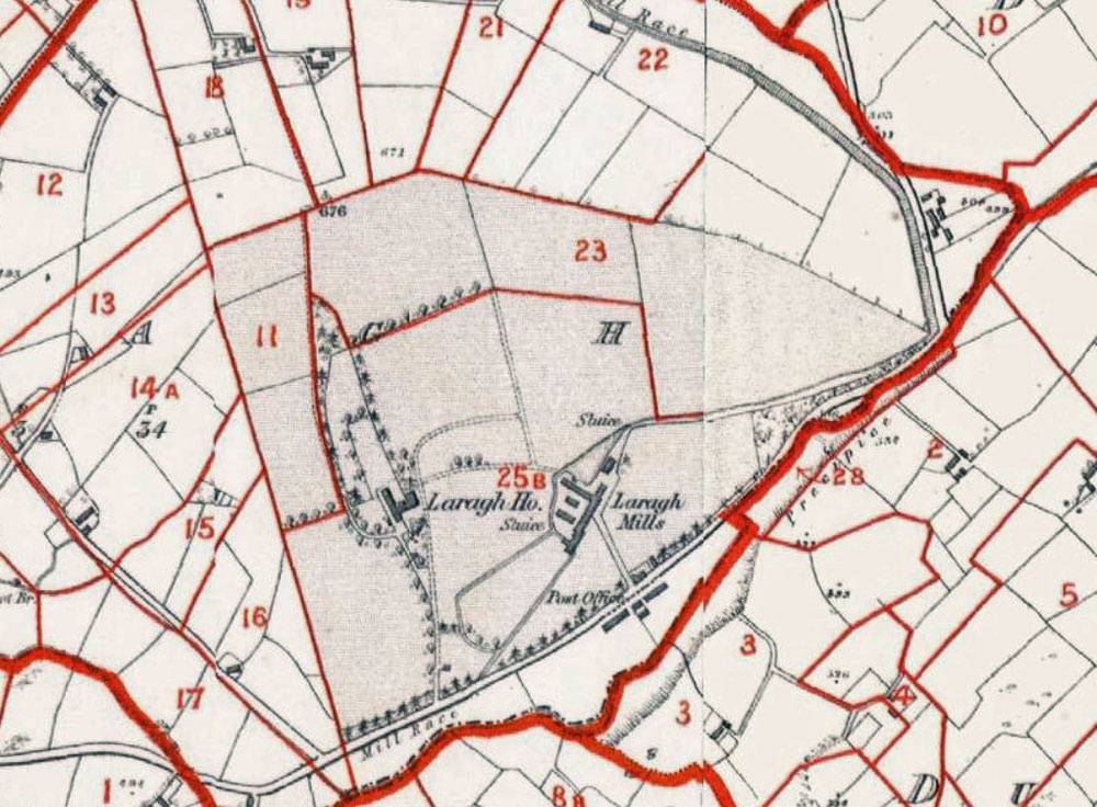
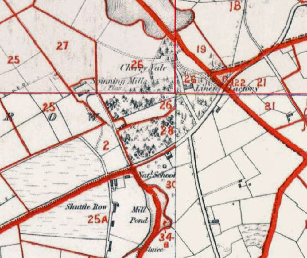
| In terms of connections of both geography and ownership of the mills of both Laragh and Cherryvale, it helps to see that they share same millrace, with Cherryvale north of Laragh. |
|
|
Given the presence of the Townland of Beagh
right beside this townland of Laragh - I am guessing that this
is the one referred to in the leases. Also, the Townland of Reduff
also shows up in connection with the name OLIVER.
|
|
But just to confuse us, there is a second
townland called Laragh, southeast of the first one. Creevy, just
south of it - which also shows up on OLIVER leases has the name
OLIVER beneath it. This map shows the relationship of the townlands
of Laragh, Creevy and Aghavilla. |

|
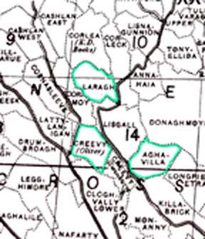
Going by the
river that seems to wend its way to Bocks Lough to the South-West
(off the border of this map), I am guessing that the millrace
was south of the road to the right of the green triangle. In another
version of this map, Laragh House is shown between the road and
the river (or stream). The Laragh mills are about equidistant from
Ballybay and Urcher - about 6-7 miles away from each. Given that the JACKSONs of Urker and the OLIVERs of Laragh had many relations in common, this is of interest.. |
|
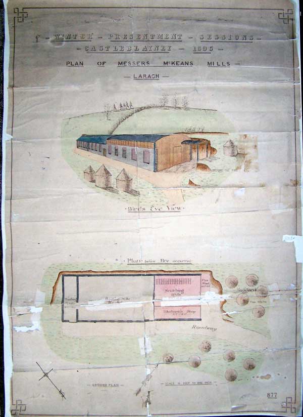
| I attach a photograph of a plan of "Helen Vale Mills" dated 1895 which I thought might interest you. The original is approx 28" X 21" and is badly torn, and was edited in Photoshop. Mary Kerley email February 25th, 2010. Thanks also to Michael Burns who originally shared this document with Mary. |