 |
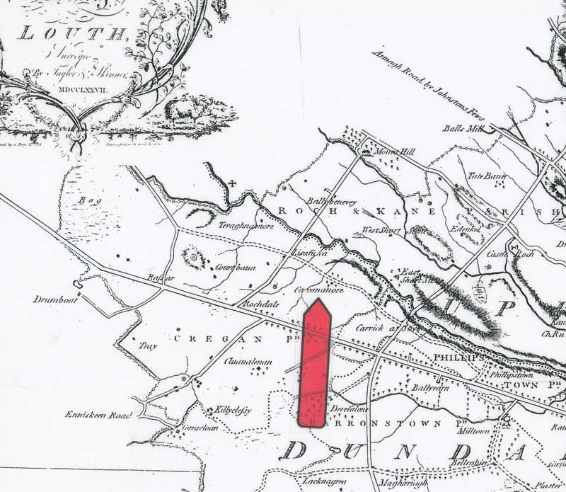
This 1727 map is good for indicating the context for the townland and the proximity of other townlands. The red arrow is pointed roughly at the place where the large house still sits. |
|
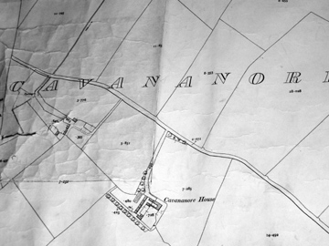
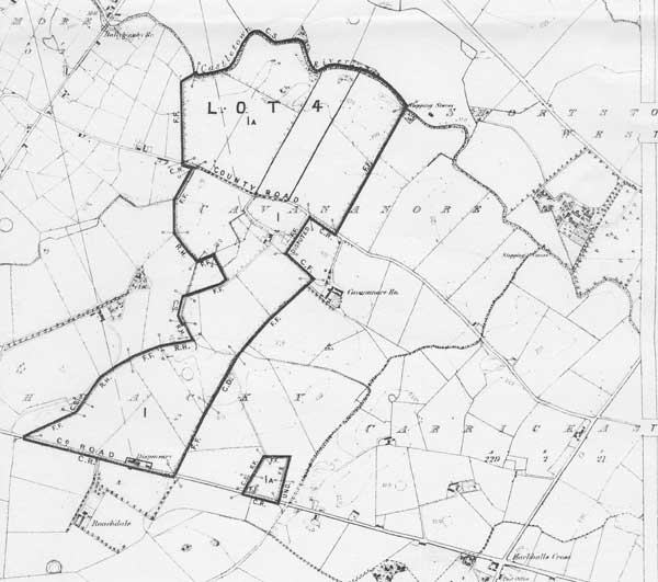
This is a section of a map that Eugene Lynch shared when I first visited in 2005. It is from the time of Griffiths Valuation, although I do not have an exact date for it. Cavananore House looks as if it was U-shaped, but the souther-western portion was actually farm buildings. |
|
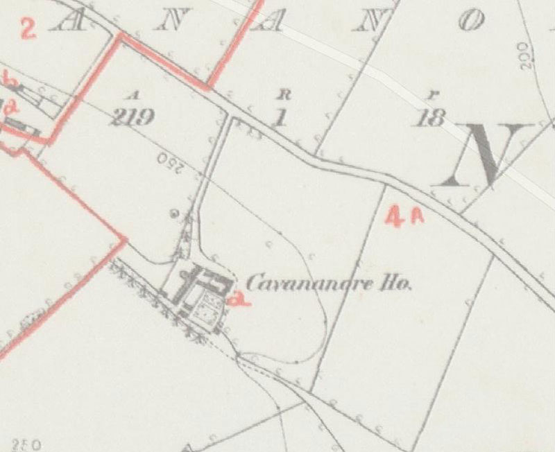
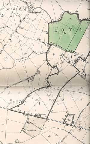
This is another version of the map above which illustrates the siting of the main house in about 1854 |
|
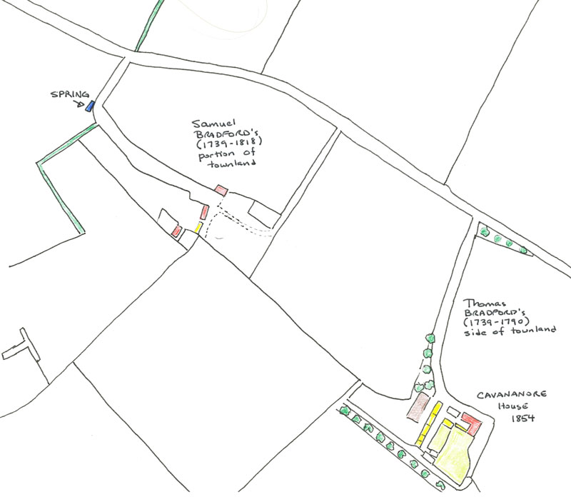
Using a range of maps, I have coloured in the various buildings in order to highlight them. Photos of the existing buildings and ruins give even more context. |
|
 |
These two images are versions of the same map - one scanned in B&W and one photographed. The map was dated 1900, and was shared by Christine Wright when I first visited in 2003. It was part of the 1900 October 31st Auction, |