In October 2011, Eugene and Marie Lynch kindly hosted me in their home. As Eugene & I tromped around the property on one of those days, he told me of his memories of growing up on this land. Although the weather that day wasn't raining hard, it was what they call in Ireland a soft day and unfortunately, the photos show the effects of this.
I have matched these photos up with old maps, so others can see where buildings were and what they might have looked like in their prime. When this is matched up in turn with older property records, such as the Cancellation Books, it also becomes possible to begin to know who lived where. The smaller houses were inhabited by those working on the land, while the one large house was inhabited by the farmer who leased the land, and eventually by others who bought it after land reforms made their purchase possible.
Sharon Oddie Brown. May 10, 2012 |
Cavananore - more photos and maps
NOTE: The first section of photos in this page are from the south-western side of Cavananore, the section that Samuel Bradford inherited after the death of his father in 1790. The ones further down the page are from the eastern side of the property. For more details, and other links, see the page that I did on Cavananore. I have also posted a few pieces for my blog that also describe some of the history of this land, for example: Cavananore- Unearthing the Tale, but if you put the word Cavananore into the seach engine on my blog, you will turn up other references to the townland as well .
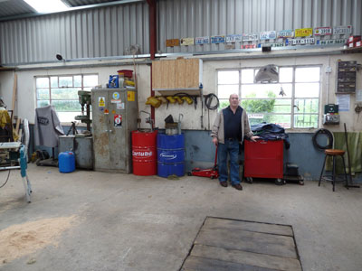 |
This is Eugene in 2011, my host and resident historian. I asked him to pose for me in his impeccable garage where it seems he can fix just about anything.
Eugene has the kind of rascally sense of humour that I quite enjoy.
Once we were talking about DNA and family ancestry, and he asked me,
Have you heard about the shy gene?
No, I replied, not sure if I had.
It was hiding behind the other gene.
|
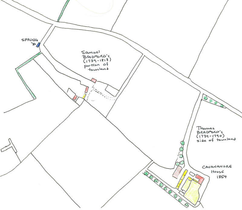
This overview of this part of Cavananore is cobbled together from other maps, and informed by the land records that I have so far unearthed. It shows the lay of the land and buildings in the mid 1800s. The maps in the 1900 auction agreement are probably pretty acurate when it comes to showing where the dividing line was in 1799 between the property assigned to the two BRADFORD twins, Samuel and Thomas. Lot #4, that was being auctioned in 1900 was part of the settlement of the estate of another Samuel BRADFORD. It was across the street - see just above and across the road from where the spring is indicated in the sketch beneath.
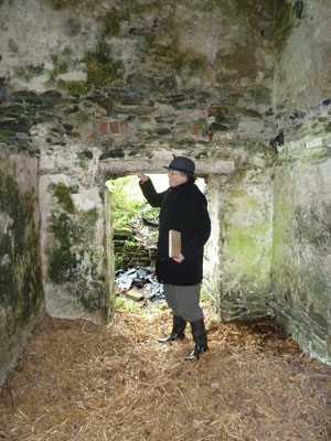
The uppermost house, shaded in red in the first Samuel BRADFORD's section, is no longer there. I am not sure if it was the house that Eugene recalls going into when he was a boy. He recalls going upstairs in it when it was already derelict. |
 |
 |
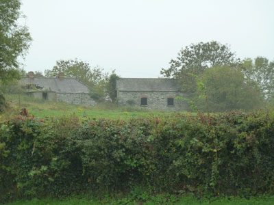 |
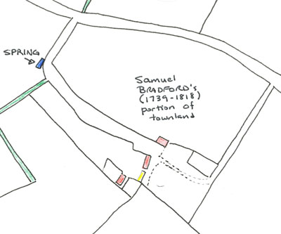
These two buildings were photographed from the side that the spring is on. You can see the chimney indicating that the buiding on the left was once lived in. The building on the right was used for housing farm animals. They are both shown on the map with the upper one in red, and the lower one in yellow. |
 |
 |
This is another snap of the building with the two chimneys, taken from beneath.The power pole on the right hand side would indicate that it was likely inhabited when electricity was installed in the mid-1950s. |
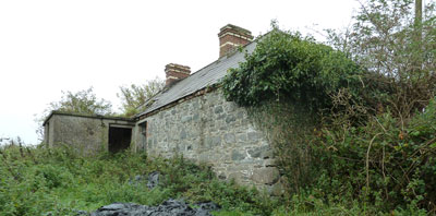
I will add a better description after I next chat with Eugene. I don't recall where I was standing when I took this, hence I haven't a clue which building this one is. |
 |
 |
This is spring on the easter side of Cavananore. It still provides excellent quality water |
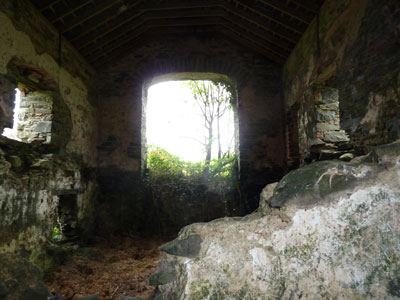
This is shot from inside the stable, looking southwards. |
|
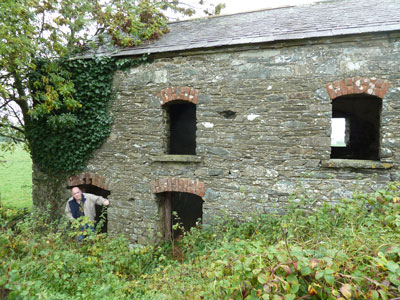 |
This is one of the side entrances to the "stable" building. I am no giant - 5'7" and shrinking as I age - so this gives a sense of scale with respect to this entrance. |
Eugene is at the lower left entrance. As you can see, this building was built into a hill. I would also suspect that it was completed in stages, going from the changes in the colour of the stone - especially just abover the upper windows. |
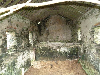 |
This is inside the stable, looking northwards. |
|
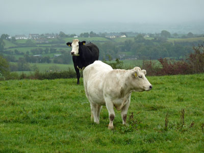 |
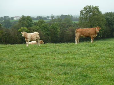
People may come and go, but the cows have grazed here for centuries.
NOTE: I have not done the family trees of any of these cows. :) |
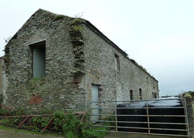 |
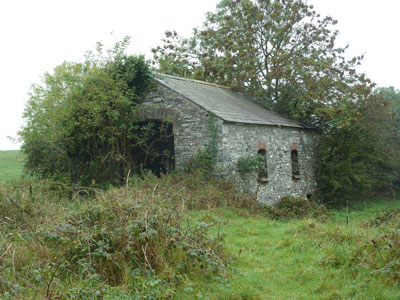
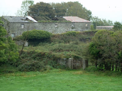
This is the long farm building which is shown in the map above near the large house on top of the hill at Cavananore. The building is currently in one of its cycles of being in disrepair, and much of the roof is now gone. Going by the look of the jagged edges of rocks to the right of the opening, it would seem that at one point that the building was even longer than it is at present. |
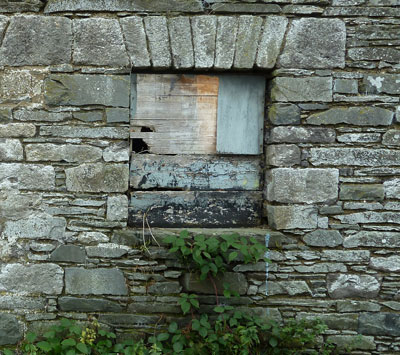
This is one of the windows near the other end of this building. I am no expert in this, but Christine Wright told me when we first visited here in 2005 that the date of a building can often be determined by the style of the rock work. |
 |
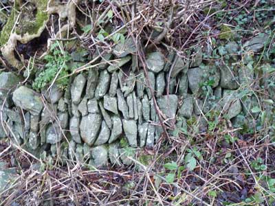 |
An older section of laid stone wall near the main house. |
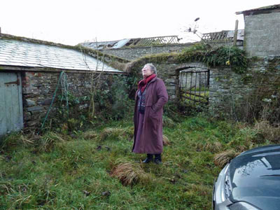
Christine Wright is another of my significant mentors. I have photographed her standing behind Cavananore House in 2010. The shed in the left of the picture shows up in the maps of 1854, The roofless structure behind is the large farm building that was also recorded in 1854. Note the archway that defines the boundary to the back portion where I suspect the cows would have milled about prior to milking. |
 |
 |
 |
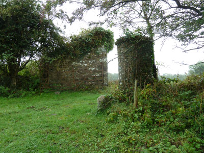
This kind of stone pier as part of a gateway are common to such properties in the region. |
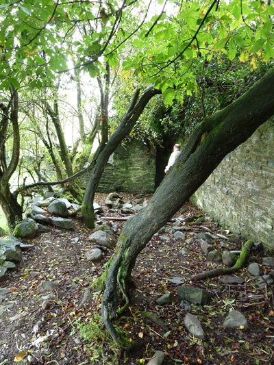
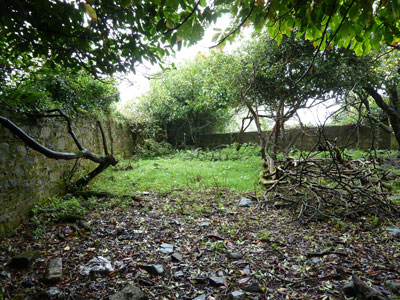
The walled garden has reverted to nature. |
 |
 |
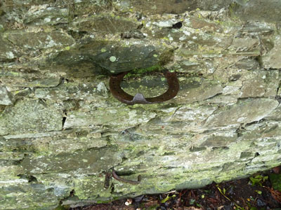
The horseshoe inserted in the wall above was a small boys friend when it came to stealing apples from the trees in the walled garden. |
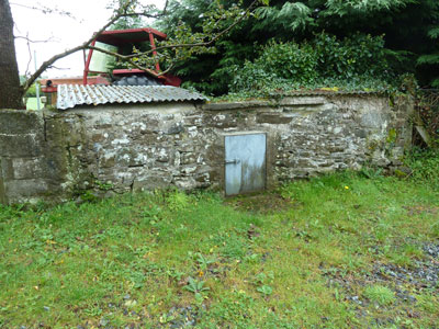
The archway in the back leads to the Sugar House aka Outdoor Toilet. It wasn't until the mid-1950s that Cavananore House had indoor plumbing. |
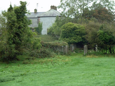 |
This shows the perspective from beneath the large house at Cavananore. It may be helpful when trying to interpret the location of some of the photos we have from the late 1800s and early 1900s. It is the background details in old photos, such as gates, that can often be helpful in sussing out where the picture was taken. |
 |
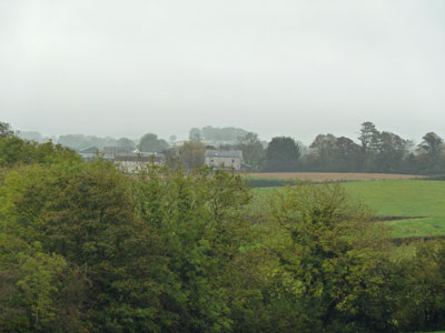 |
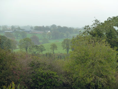
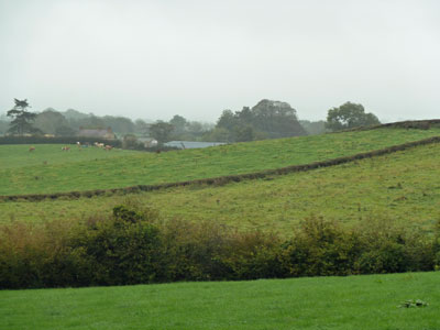
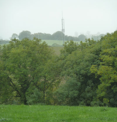
The views above and below set some of the context for Cavananore. I hope to reshoot them on a day when there is less mist. On a good day, I am told that one can see all the way to Dundalk.
These pictures were all taken from one of the fields at Cavananore in 2011.
Above and to the left is Shortstone, a property that has been lived in over the past few centuries by COULTERs, BAILIEs and TREACYs aka TRACYs. Above and to the right, as I turned to face east, is a view of Carrickastuck, historically the home of COULTERs, DICKIEs, BAILIEs and other family members. Beneath and to the left is POLLOCKs, a yellow house that looks more tan in this light. Finally, the tower in the photo beneath indicates the location of the police barracks. This was where Gordon S. Holmes, the grandfather of Gordon STITT of HSBC, served as a Police Inspector during the turbulent mid-1800s. |
 |
 |
 |
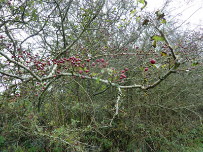 |
The walled garden above may have reverted to nature, but it possesses a kind of wild beauty. The dried berries on the tree to the right is another one of the feasts for the eyes in autumn. As always, when I walk about places such as these, I imagine how my ancestors would have seen it. I know from their letters how much they loved the land. By being there myself, all my senses tell me even more about why their attachment to place was as strong as it was. |
|